Salisbury Gig Guide
An independent central listing of live music around Salisbury
Feedback / Contact us


Salisbury Gig Guide


Venues


If you have any links for this section please let us know via our contact form.

If we've linked to your website, we would be grateful if you could link to ours too.

As per our terms of use, links to third party websites are solely provided as an additional reference resource and you may access this content at your own risk. Linking should not be taken as an endorsement of any kind.


Venues within 5 miles of Salisbury, sorted by distance

sort by: name | distance
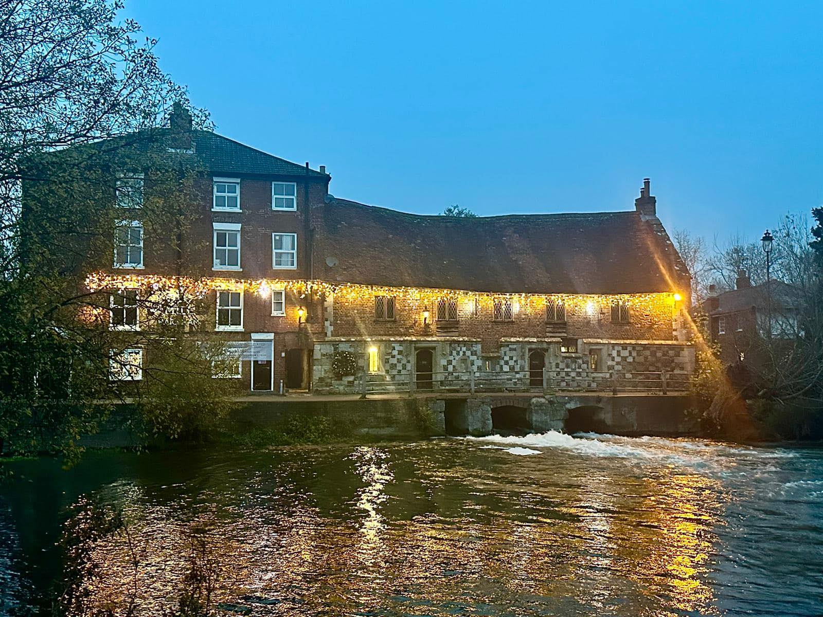
Bishops Mill Bishops Mill
7 The Maltings, Salisbury, Wiltshire, SP1 1BD - under ½ mile - Map
Bishops Mill on Facebook Bishops Mill website
Coach and Horses Coach and Horses
39 Winchester Street, Salisbury, Wiltshire, SP1 1HG - under ½ mile - Map
Coach and Horses on Facebook Coach and Horses website
Cross Keys Shopping Centre Cross Keys Shopping Centre
22 Queen Street, Salisbury, Wiltshire, SP1 1EY - under ½ mile - Map
Cross Keys Shopping Centre on Facebook Cross Keys Shopping Centre website
Market Place Market Place
Guildhall Square, Salisbury, Wiltshire, SP1 1TP - under ½ mile - Map
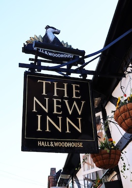
New Inn New Inn
41-43 New Street, Salisbury, Wiltshire, SP1 2PH - under ½ mile - Map
New Inn on Facebook New Inn website
Salisbury Guildhall Salisbury Guildhall
The Market Place, Salisbury, Wiltshire, SP1 1JH - under ½ mile - Map
Salisbury Guildhall on Facebook Salisbury Guildhall website
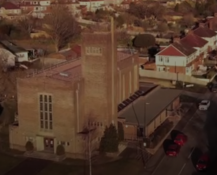
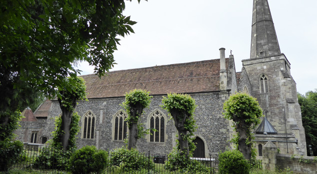
St Thomas's Church St Thomas's Church
St Thomas's Square, Salisbury, Wiltshire, SP1 1BA - under ½ mile - Map
St Thomas's Church on Facebook St Thomas's Church website
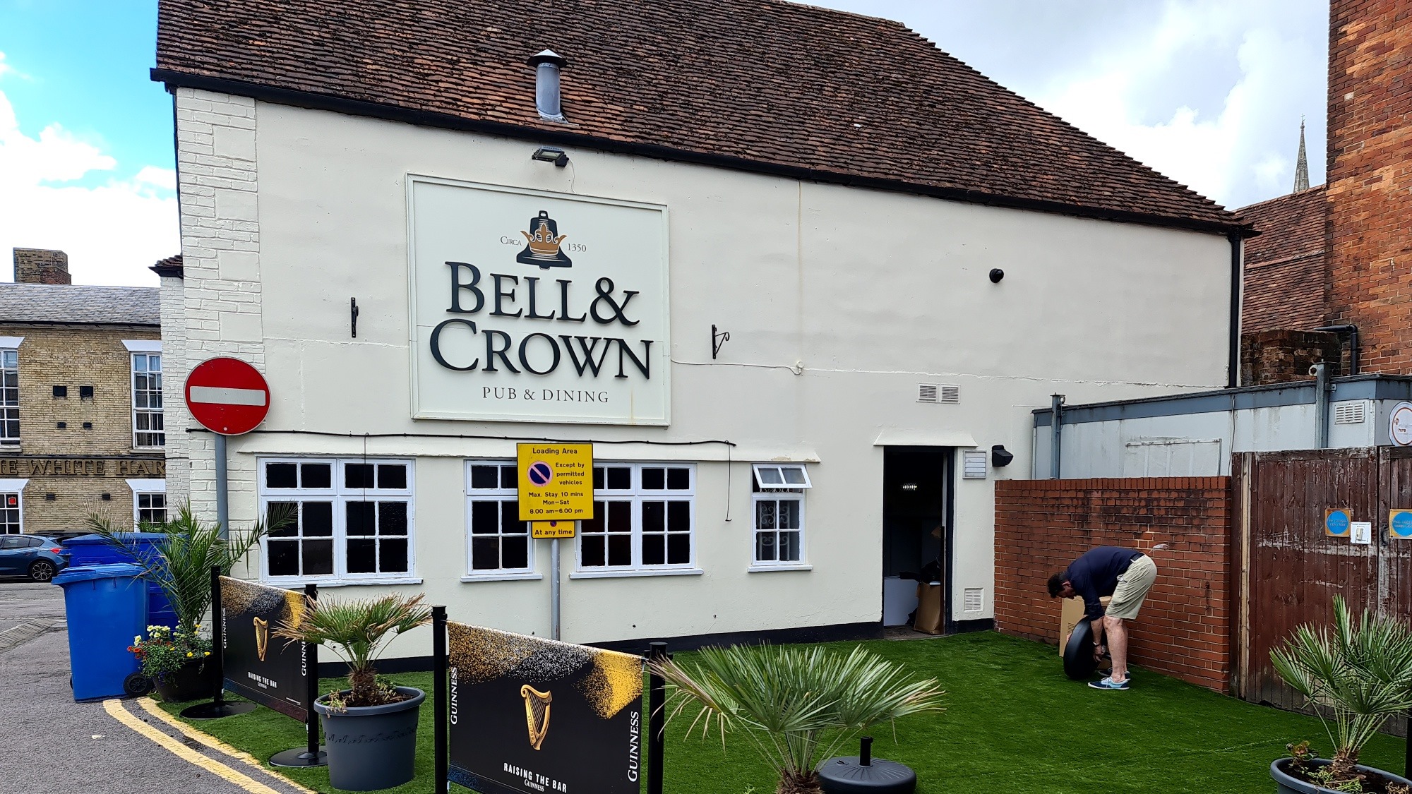
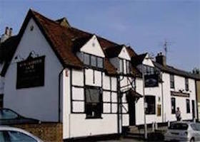
Bell and Crown Bell and Crown
83 Catherine Street, Salisbury, Wiltshire, SP1 2DH - under ½ mile - Map
Bell and Crown on Facebook Bell and Crown website
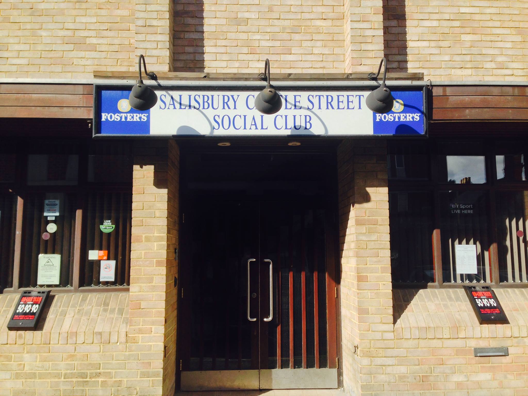
Castle Street Social Club Castle Street Social Club
Scots Lane, Salisbury, Wiltshire, SP1 3TR - under ½ mile - Map
Castle Street Social Club on Facebook
Qudos Qudos
38 Castle Street, Salisbury, Wiltshire, SP1 1BN - under ½ mile - Map
Qudos on Facebook Qudos website
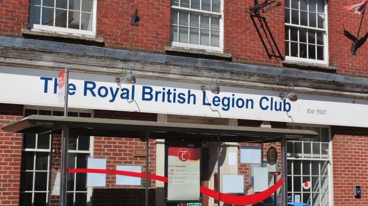
Royal British Legion Royal British Legion
9-11 Endless Street, Salisbury, Wiltshire, SP1 1DL - under ½ mile - Map
Royal British Legion on Facebook
Rude Giant Beer House Rude Giant Beer House
29a Brown Street, Salisbury, Wiltshire, SP1 2AS - under ½ mile - Map
Rude Giant Beer House on Facebook Rude Giant Beer House website
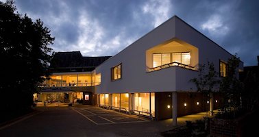
Salisbury Playhouse Salisbury Playhouse
Malthouse Lane, Salisbury, Wiltshire, SP2 7RA - under ½ mile - Map
Salisbury Playhouse on Facebook Salisbury Playhouse website
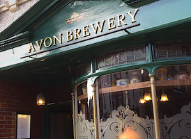
The Avon Brewery Inn The Avon Brewery Inn
75 Castle Street, Salisbury, Wiltshire, SP1 3SP - under ½ mile - Map
The Avon Brewery Inn on Facebook The Avon Brewery Inn website
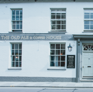
The Old Ale and Coffee House The Old Ale and Coffee House
80 Crane Street, Salisbury, Wiltshire, SP1 2QD - under ½ mile - Map
The Old Ale and Coffee House on Facebook The Old Ale and Coffee House website
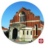
United Reformed Church United Reformed Church
30 Fisherton Street, Salisbury, Wiltshire, SP2 7RG - under ½ mile - Map
United Reformed Church on Facebook United Reformed Church website
Anchor & Hope Anchor & Hope
59-61 Winchester Street, Salisbury, Wiltshire, SP1 1HL - under ½ mile - Map
Arundells Arundells
59 Cathedral Close, Salisbury, Wiltshire, SP1 2EN - under ½ mile - Map
Arundells on Facebook Arundells website
Deacons Deacons
118 Fisherton Street, Salisbury, Wiltshire, SP2 7QT - under ½ mile - Map
Deacons on Facebook Deacons website
George and Dragon George and Dragon
85 Castle Street, Salisbury, Wiltshire, SP1 3SP - under ½ mile - Map
George and Dragon on Facebook George and Dragon website
Huntsman Tavern Huntsman Tavern
123 Gigant Street, Salisbury, Wiltshire, SP1 2BQ - under ½ mile - Map
Huntsman Tavern on Facebook
Pheasant Inn Pheasant Inn
19 Salt Lane, Salisbury, Wiltshire, SP1 1DT - under ½ mile - Map
Pheasant Inn on Facebook Pheasant Inn website
Queen Elizabeth Gardens Queen Elizabeth Gardens
Cranebridge Road, Salisbury, Wiltshire, SP2 7TD - under ½ mile - Map
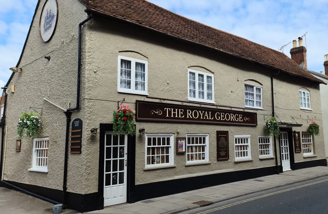
Royal George Royal George
17 Bedwin Street, Salisbury, Wiltshire, SP1 3UT - under ½ mile - Map
Royal George on Facebook
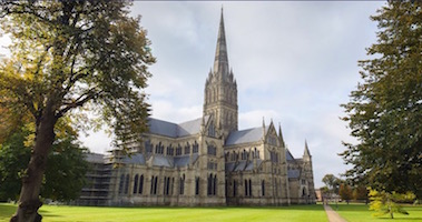
Salisbury Cathedral Salisbury Cathedral
6 The Close, Salisbury, Wiltshire, SP1 2EJ - under ½ mile - Map
Salisbury Cathedral on Facebook Salisbury Cathedral website
Salisbury Methodist Church Salisbury Methodist Church
26 St Edmund's Church Street, Salisbury, Wiltshire, SP1 1EF - under ½ mile - Map
Salisbury Methodist Church on Facebook Salisbury Methodist Church website
Sarum College Sarum College
19 The Close, Salisbury, Wiltshire, SP1 2EE - under ½ mile - Map
Sarum College on Facebook
The Rifles Berkshire and Wiltshire Museum The Rifles Berkshire and Wiltshire Museum
The Wardrobe, 58 The Close, Salisbury, Wiltshire, SP1 2EX - under ½ mile - Map
The Rifles Berkshire and Wiltshire Museum on Facebook The Rifles Berkshire and Wiltshire Museum website
Wig and Quill Wig and Quill
1 New Street, Salisbury, Wiltshire, SP1 2PH - under ½ mile - Map
Wig and Quill on Facebook
Salisbury Arts Centre Salisbury Arts Centre
Bedwin Street, Salisbury, Wiltshire, SP1 3UT - under ½ mile - Map
Salisbury Arts Centre on Facebook Salisbury Arts Centre website
Winchester Gate Winchester Gate
Rampart Road, Salisbury, Wiltshire, SP1 1JA - under ½ mile - Map
Winchester Gate on Facebook Winchester Gate website
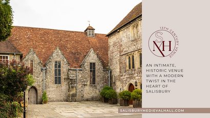
Medieval Hall Medieval Hall
Sarum St. Michael, West Walk, Cathedral Close, Salisbury, Wiltshire, SP1 2EY - under ½ mile - Map
Medieval Hall on Facebook Medieval Hall website
Milford Hall Hotel Milford Hall Hotel
206 Castle Street, Salisbury, Wiltshire, SP1 3TE - under ½ mile - Map
Milford Hall Hotel on Facebook Milford Hall Hotel website
Salisbury Cathedral School Salisbury Cathedral School
1 The Close, Salisbury, Wiltshire, SP1 2EQ - under ½ mile - Map
Salisbury Cathedral School website
St Paul's Church St Paul's Church
Fisherton Street, Salisbury, Wiltshire, SP2 7QW - under ½ mile - Map
St Paul's Church on Facebook St Paul's Church website
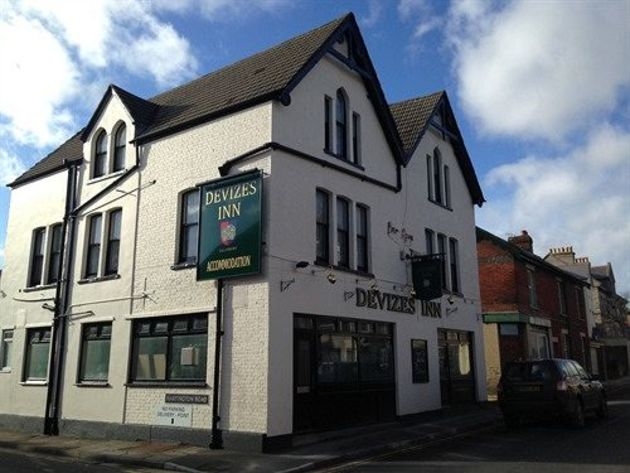
Devizes Inn Devizes Inn
53-55 Devizes Road, Salisbury, Wiltshire, SP2 7LQ - under 1 mile - Map
Devizes Inn on Facebook Devizes Inn website
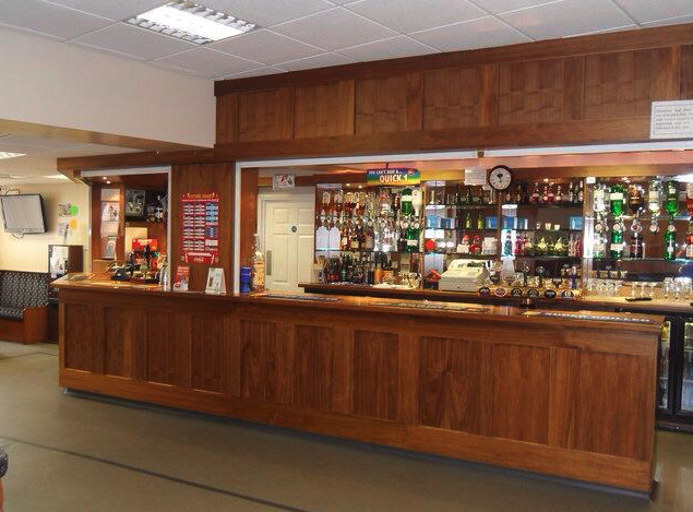
Duke of York Duke of York
34 York Road, Salisbury, Wiltshire, SP2 7AS - under 1 mile - Map
Duke of York on Facebook Duke of York website
Salisbury Arms Salisbury Arms
31-35 Endless Street, Salisbury, Wiltshire, SP1 1DP - under 1 mile - Map
Salisbury Arms on Facebook
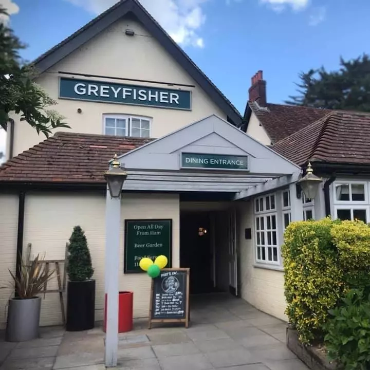
Greyfisher Greyfisher
Ayleswade Road, Salisbury, Wiltshire, SP2 8DW - under 1 mile - Map
Greyfisher on Facebook Greyfisher website
Old Mill Hotel Old Mill Hotel
Town Path, West Harnham, Salisbury, Wiltshire, SP2 8EU - under 1 mile - Map
Old Mill Hotel on Facebook Old Mill Hotel website
Victoria Park Victoria Park
Stratford Road, Salisbury, Wiltshire, SP1 3JL - under 1 mile - Map
Horse & Groom Horse & Groom
54 Wilton Road, Salisbury, Wiltshire, SP2 7ES - under 1 mile - Map
Horse & Groom on Facebook
The Georgian Room - Salisbury Recorded Music Society The Georgian Room - Salisbury Recorded Music Society
rear of 6-8 St Ann Street, Salisbury, Wiltshire, SP1 2HB - 1.1 miles - Map
The Georgian Room - Salisbury Recorded Music Society on Facebook The Georgian Room - Salisbury Recorded Music Society website
Salisbury Rugby Club Salisbury Rugby Club
Castle Road, Salisbury, Wiltshire, SP1 3SA - 1.3 miles - Map
Salisbury Rugby Club on Facebook Salisbury Rugby Club website
Hudson's Field Hudson's Field
Castle Road, Salisbury, Wiltshire, SP1 3SA - 1.4 miles - Map
Walker Hall, Leehurst Swan School Walker Hall, Leehurst Swan School
Campbell Road, Salisbury, Wiltshire, SP1 3BQ - 1.4 miles - Map
Walker Hall, Leehurst Swan School website
Bemerton Methodist Church Bemerton Methodist Church
Roman Road, Salisbury, Wiltshire, SP2 9BH - 1.5 miles - Map
Bemerton Methodist Church on Facebook Bemerton Methodist Church website
Blackledge Theatre Blackledge Theatre
Godolphin School, Milford Hill, Salisbury, Wiltshire, SP1 2RA - 1.6 miles - Map
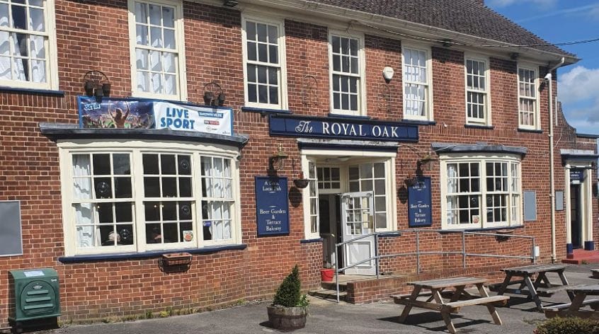
Royal Oak Royal Oak
432 Devizes Road, Salisbury, Wiltshire, SP2 9LX - 1.6 miles - Map
Royal Oak on Facebook
St John's Place St John's Place
Lower Road, Lower Bemerton, Salisbury, Wiltshire, SP2 9NP - 1.8 miles - Map
St John's Place on Facebook St John's Place website
Bemerton Heath Harlequins Sports & Social Club Bemerton Heath Harlequins Sports & Social Club
Western Way, Bemerton Heath, Salisbury, Wiltshire, SP2 9DR - 2 miles - Map
Bemerton Heath Harlequins Sports & Social Club on Facebook
Harnham Community Sports & Social Club Harnham Community Sports & Social Club
Parsonage Green, Salisbury, Wiltshire, SP2 8LA - 2 miles - Map
Harnham Community Sports & Social Club on Facebook Harnham Community Sports & Social Club website
St Martin's Church St Martin's Church
St Martin's Church Street, Salisbury, Wiltshire, SP1 2HY - 2 miles - Map
St Martin's Church website
Harnham Water Meadows Harnham Water Meadows
Rose Cottage, Town Path, Harnham, Salisbury, Wiltshire, SP2 8EU - 2.1 miles - Map
Harnham Water Meadows website
Laverstock & Ford Sports Club Laverstock & Ford Sports Club
23 Church Road, Laverstock, Salisbury, Wiltshire, SP1 1QX - 2.4 miles - Map
Laverstock & Ford Sports Club on Facebook
White Horse White Horse
Lower Road, Quidhampton, Salisbury, Wiltshire, SP2 9AS - 2.4 miles - Map
White Horse on Facebook White Horse website
South Newton & Wishford Village Hall South Newton & Wishford Village Hall
Warminster Road, Stoford, Salisbury, Wiltshire, SP2 0PJ - 2.5 miles - Map
South Newton & Wishford Village Hall on Facebook
St Mark's Church St Mark's Church
St Mark's Avenue, Salisbury, Wiltshire, SP1 3DL - 2.5 miles - Map
St Mark's Church on Facebook St Mark's Church website
Dark Revolution Brewery and Tap Room Dark Revolution Brewery and Tap Room
3-5 Lancaster Road, Old Sarum, Salisbury, Wiltshire, SP4 6FB - 3 miles - Map
Dark Revolution Brewery and Tap Room on Facebook Dark Revolution Brewery and Tap Room website
Hangar 3 Hangar 3
Old Sarum Airfield, Old Sarum, Salisbury, Wiltshire, SP4 6DZ - 3.1 miles - Map
Hangar 3 on Facebook Hangar 3 website
Old Sarum and Longhedge Community Centre Old Sarum and Longhedge Community Centre
Pheasant Drive, Old Sarum, Salisbury, Wiltshire, SP4 6GH - 3.1 miles - Map
Old Sarum and Longhedge Community Centre on Facebook
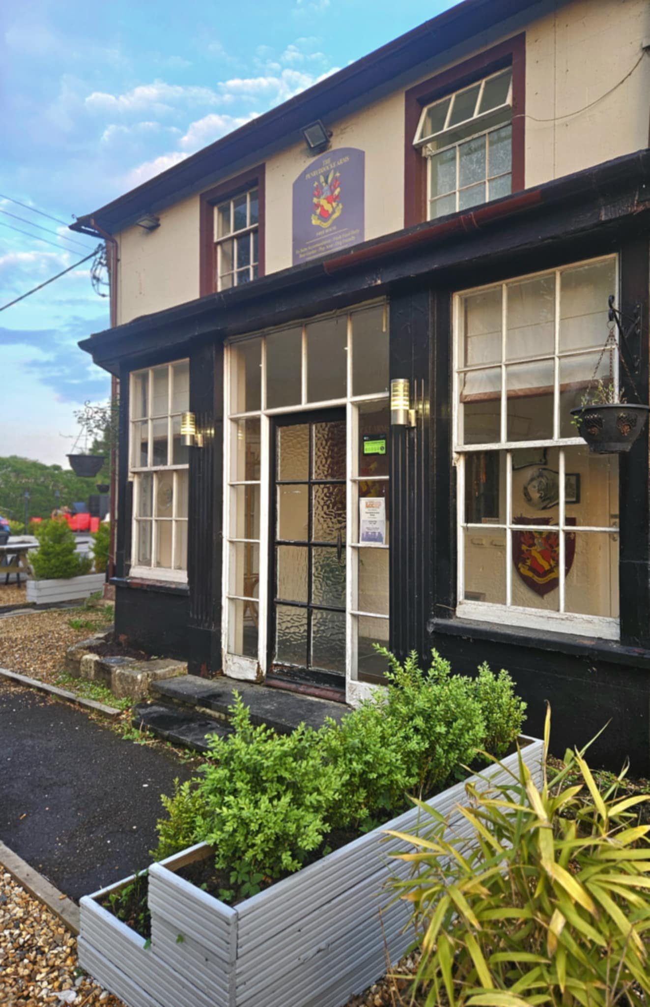
The Pembroke Arms The Pembroke Arms
Minster Street, Wilton, Salisbury, Wiltshire, SP2 0BH - 3.3 miles - Map
The Pembroke Arms on Facebook The Pembroke Arms website
St George's Hall (Harnham Parish Hall) St George's Hall (Harnham Parish Hall)
Lower Street, West Harnham, Salisbury, Wiltshire, SP2 8EY - 3.4 miles - Map
St George's Hall (Harnham Parish Hall) website
Michael Herbert Hall Michael Herbert Hall
South Street, Wilton, Salisbury, Wiltshire, SP2 0JS - 3.5 miles - Map
Michael Herbert Hall website
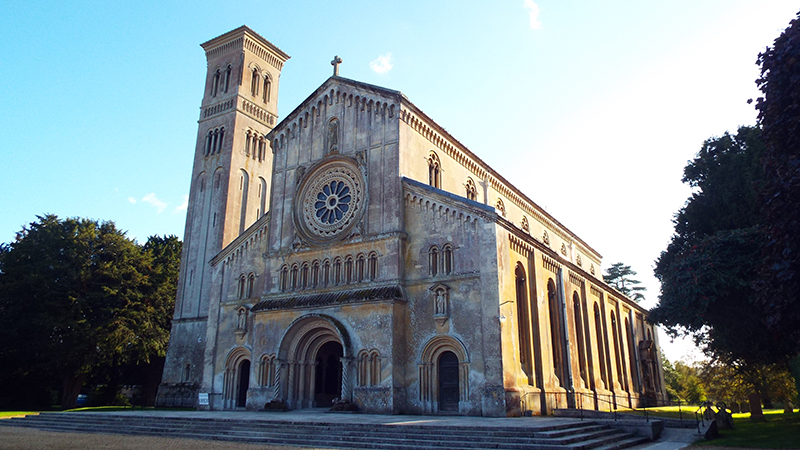
St Mary & St Nicholas Church St Mary & St Nicholas Church
West Street, Wilton, Salisbury, Wiltshire, SP2 0DL - 3.5 miles - Map
St Mary & St Nicholas Church on Facebook St Mary & St Nicholas Church website
Wilton Castle Meadows Wilton Castle Meadows
Wilton, Salisbury, Wiltshire, SP2 0HG - 3.5 miles - Map
Wilton Social Club Wilton Social Club
34 North Street, Wilton, Salisbury, Wiltshire, SP2 0HJ - 3.5 miles - Map
Wilton Social Club on Facebook
Nunton Recreation Ground Nunton Recreation Ground
Rose Lane, Nunton, Salisbury, Wilthisre, SP5 4HW - 3.6 miles - Map
Barnack Estate Barnack Estate
Kingsway, Wilton, Wiltshire, SP2 0AW - 4 miles - Map
Bob Blandford Memorial Scout Hall Bob Blandford Memorial Scout Hall
1 Queen Street, Wilton, Salisbury, Wiltshire, SP2 0AL - 4.2 miles - Map
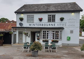
Winterbourne Arms Winterbourne Arms
Winterbourne Dauntsey, Salisbury, Wiltshire, SP4 6EW - 4.2 miles - Map
Winterbourne Arms on Facebook
The Wheatsheaf The Wheatsheaf
Lower Woodford, Salisbury, Wiltshire, SP4 6NQ - 4.3 miles - Map
The Wheatsheaf on Facebook The Wheatsheaf website
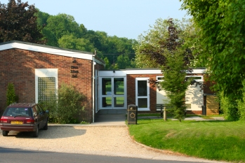
Coombe Bissett Village Hall Coombe Bissett Village Hall
Shutts Lane, Coombe Bisset, Salisbury, Wiltshire, SP5 4LU - 4.5 miles - Map
Alderbury Recreational Field Alderbury Recreational Field
Alderbury, Wiltshire, SP5 3AD - 4.7 miles - Map
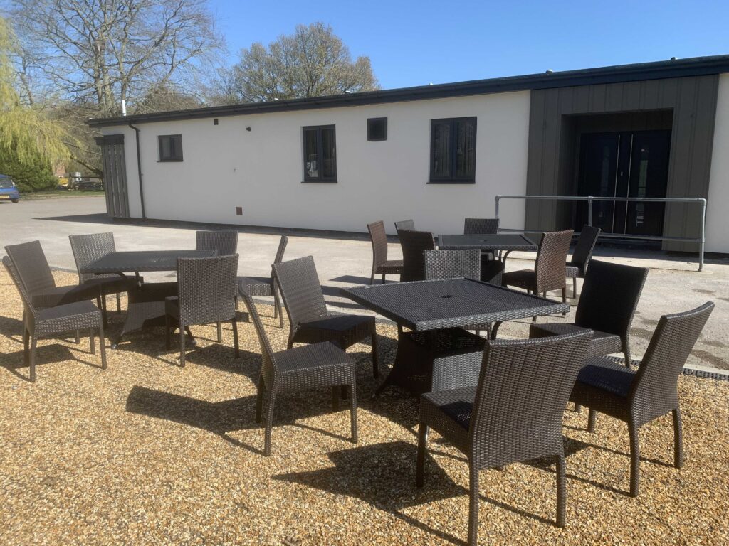
Alderbury Sports & Social Club Alderbury Sports & Social Club
Rectory Road, Alderbury, Salisbury, Wiltshire, SP5 3AD - 4.8 miles - Map
Alderbury Sports & Social Club on Facebook Alderbury Sports & Social Club website
Alderbury Village Hall Alderbury Village Hall
Rectory Road, Alderbury, Wiltshire, SP5 3AD - 4.8 miles - Map


Venues over 5 miles from Salisbury centre, sorted by distance

sort by: name | distance
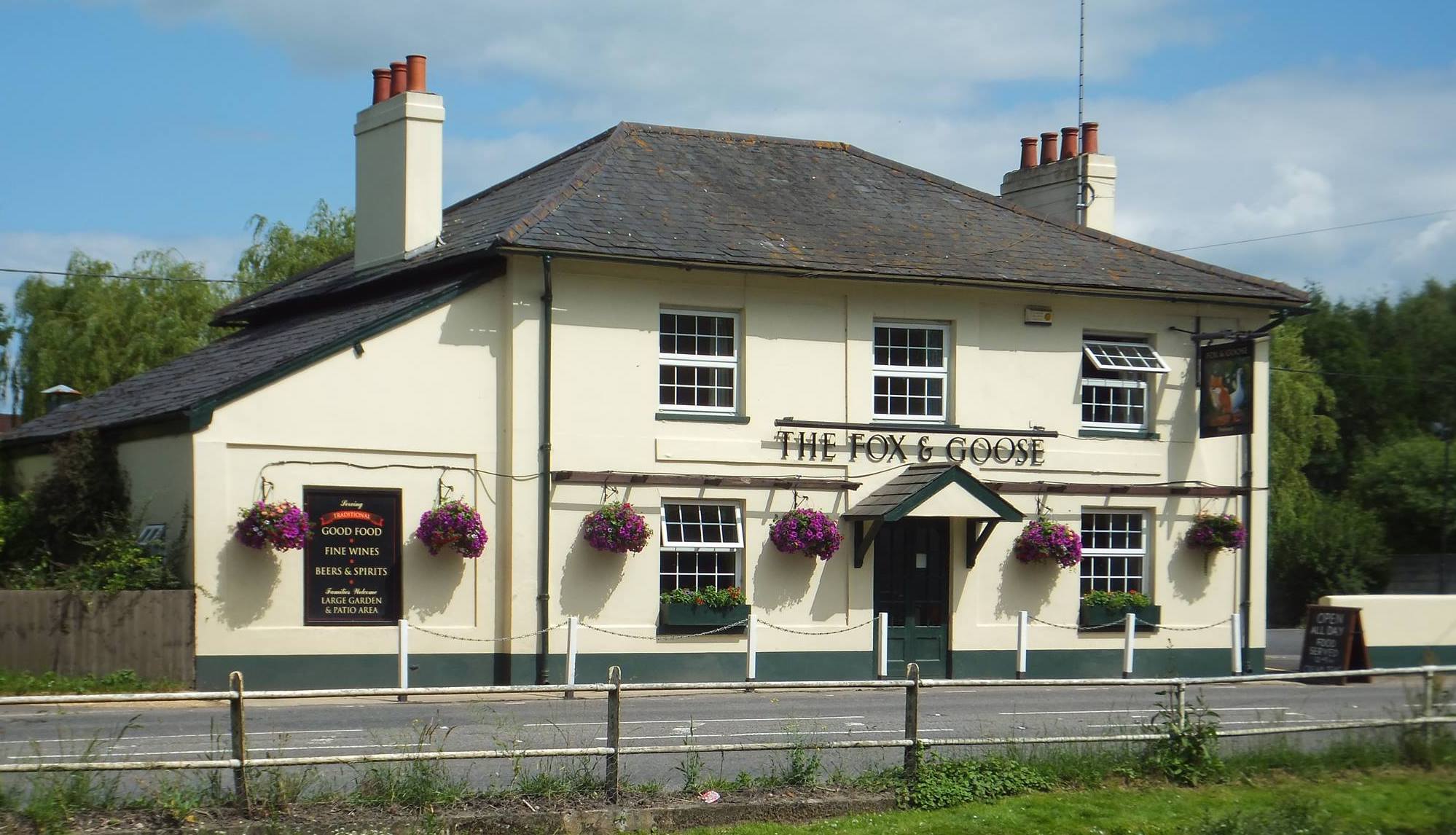
Fox and Goose Fox and Goose
Blandford Road, Coombe Bissett, Salisbury, Wiltshire, SP5 4LE - 5.4 miles - Map
Fox and Goose on Facebook Fox and Goose website
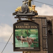
Barford Inn Barford Inn
Barford St Martin, Salisbury, Wiltshire, SP3 4AB - 6 miles - Map
Barford Inn on Facebook Barford Inn website
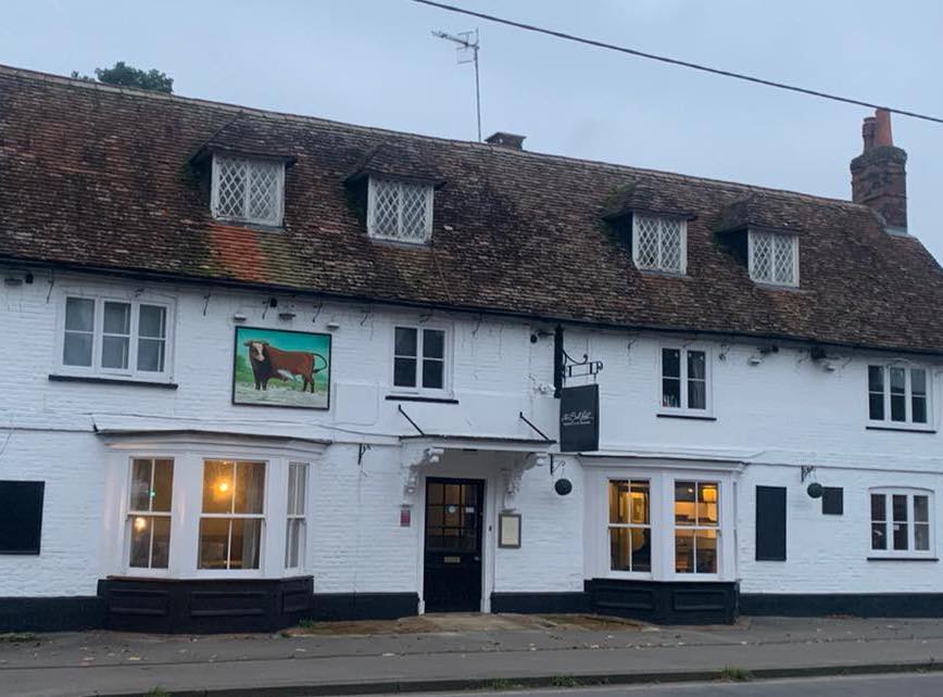
Bull Hotel Bull Hotel
The Headlands, Downton, Salisbury, Wiltshire, SP5 3HL - 6.1 miles - Map
Bull Hotel on Facebook
Live at The Baa Live at The Baa
Greenacres Farm, Rockbourne Road, Salisbury, Wiltshire, SP5 4LP - 6.1 miles - Map
Live at The Baa on Facebook Live at The Baa website
Downton Brewery Downton Brewery
Unit 11, Batten Road, Downton, Wiltshire, SP5 3HU - 6.2 miles - Map
Downton Brewery on Facebook Downton Brewery website
The Old Railway Hotel The Old Railway Hotel
Station Approach, Porton, Wiltshire, SP4 0LA - 6.5 miles - Map
The Old Railway Hotel on Facebook The Old Railway Hotel website
Downton Memorial Hall Downton Memorial Hall
The Borough, Downton, Salisbury, Wiltshire, SP5 3NB - 6.6 miles - Map
Farley Hospital Farley Hospital
The Wardenry, Church Road, Farley, Wiltshire, SP5 1AH - 6.6 miles - Map
Farley Hospital on Facebook Farley Hospital website
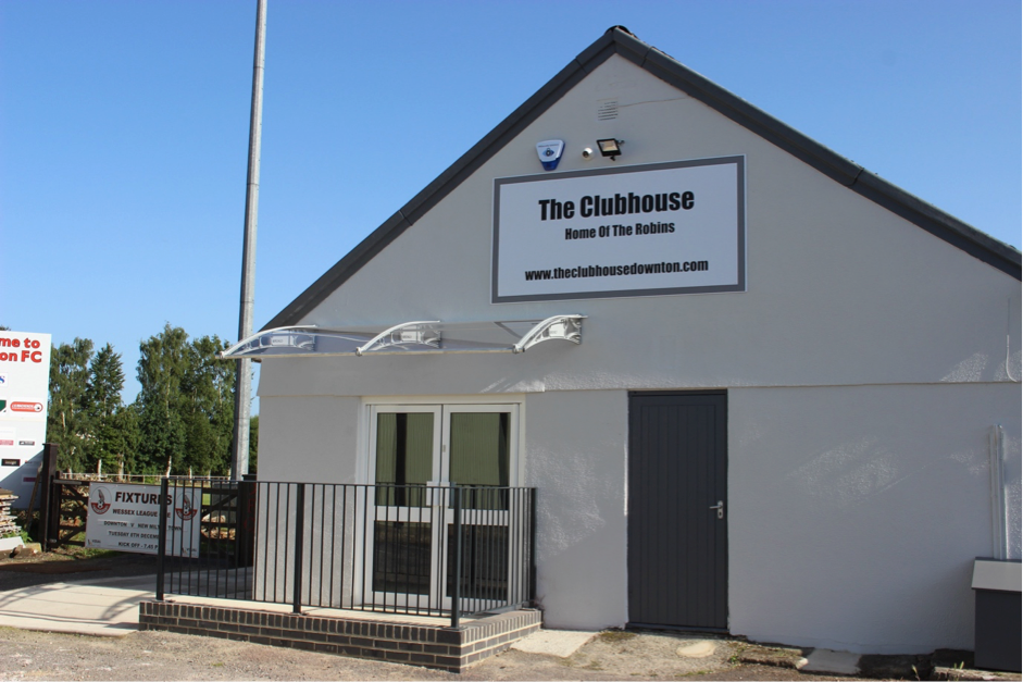
The Clubhouse - Downton Football Club The Clubhouse - Downton Football Club
Wick Lane, Downton, Wiltshire, SP5 3NF - 6.6 miles - Map
The Clubhouse - Downton Football Club on Facebook The Clubhouse - Downton Football Club website
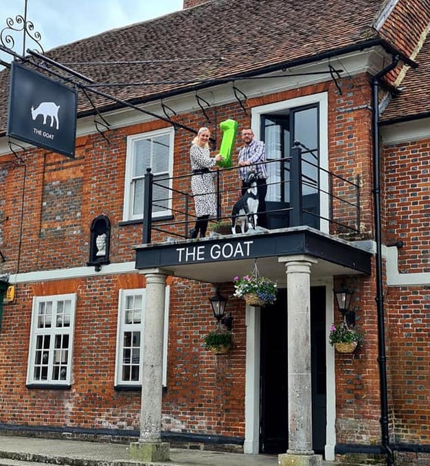
The Goat The Goat
62 The Borough, Downton, Salisbury, Wiltshire, SP5 3LY - 6.7 miles - Map
The Goat on Facebook The Goat website
Downton Moot Downton Moot
Downton, Wiltshire, SP5 3PH - 7.1 miles - Map
Orchard Orchard
Archers Gate, Amesbury, Wiltshire, SP4 7XT - 7.7 miles - Map
Orchard on Facebook Orchard website
The Kings Arms The Kings Arms
7 Church Street, Amesbury, Wiltshire, SP4 7EU - 7.8 miles - Map
The Kings Arms on Facebook
The New Inn The New Inn
10 High Street, Amesbury, Salisbury, Wiltshire, SP4 7DL - 7.8 miles - Map
The New Inn on Facebook
Abbey Church of St Mary and St Melor Abbey Church of St Mary and St Melor
Church Street, Amesbury, Wiltshire, SP4 7EU - 7.9 miles - Map
Abbey Church of St Mary and St Melor on Facebook
All Saints' Church All Saints' Church
Church Lane, Farley, Salisbury, Wiltshire, SP5 1AH - 7.9 miles - Map
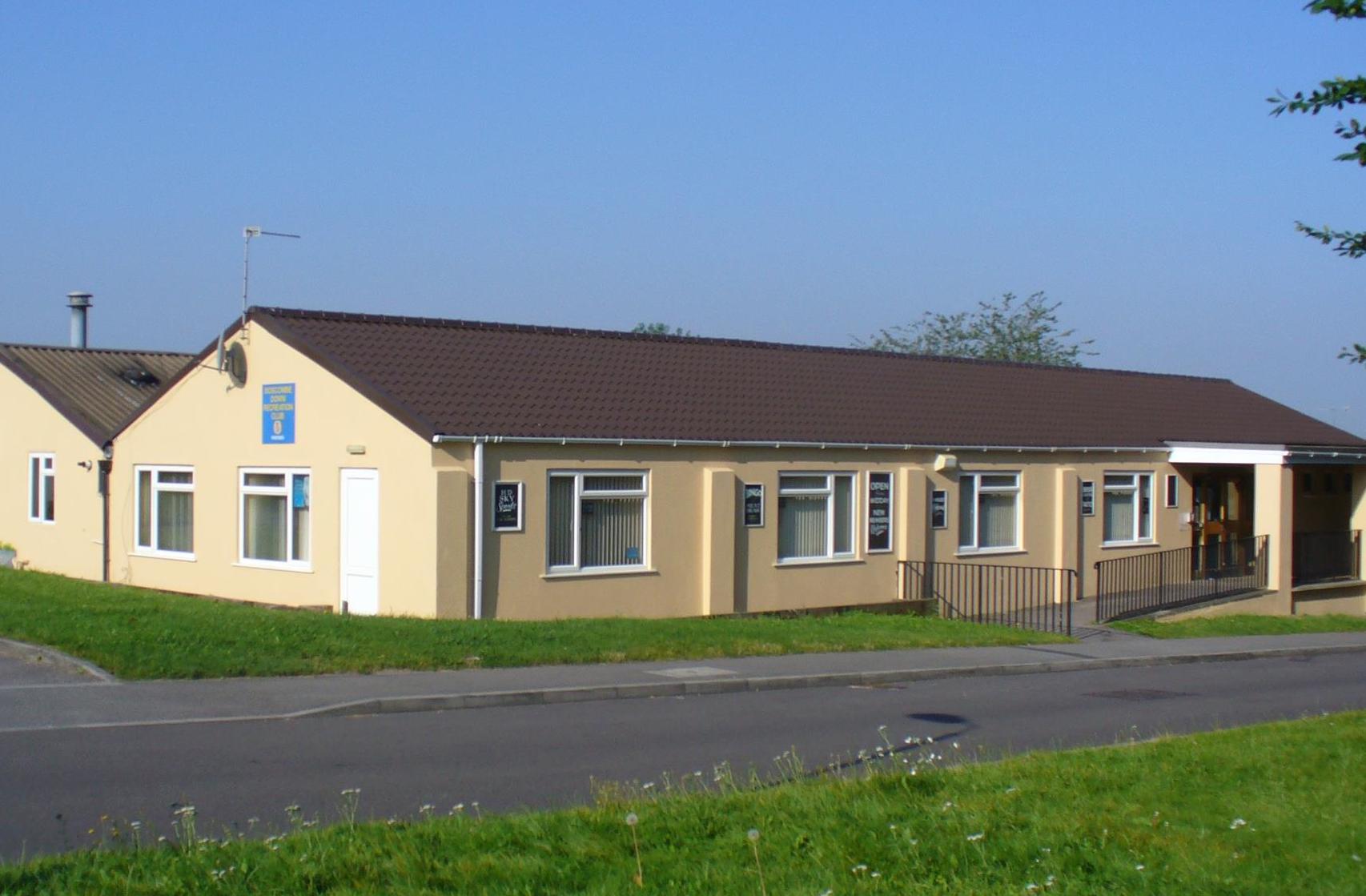
Antrobus House Antrobus House
39 Salisbury Rd, Amesbury, Salisbury, Wiltshire, SP4 7HH - 7.9 miles - Map
Antrobus House on Facebook Antrobus House website
The Antrobus Arms Hotel The Antrobus Arms Hotel
15 Church Street, Amesbury, Wiltshire, SP4 7EU - 7.9 miles - Map
The Antrobus Arms Hotel on Facebook The Antrobus Arms Hotel website
Boscombe Down Recreational Club Boscombe Down Recreational Club
Lyndhurst Road, Amesbury, Salisbury, Wiltshire, SP4 7PE - 8 miles - Map
Boscombe Down Recreational Club on Facebook
The Old Inn The Old Inn
Tidworth Road, Allington, Salisbury, Wiltshire, SP4 0BN - 8.3 miles - Map
The Old Inn on Facebook The Old Inn website
Winterslow Village Hall Winterslow Village Hall
Middleton Road, Winterslow, Salisbury, Wiltshire, SP5 1PQ - 8.8 miles - Map
Winterslow Village Hall on Facebook Winterslow Village Hall website
Kings Head Kings Head
The Street, Whiteparish, Wiltshire, SP5 2SG - 9 miles - Map
Kings Head on Facebook Kings Head website
Whiteparish Memorial Ground Whiteparish Memorial Ground
Common Ground, Whiteparish, Salisbury, Wiltshire, SP5 2SU - 9.1 miles - Map
Steeple Langford Recreation Ground Steeple Langford Recreation Ground
The Wirr, Steeple Langford, Salisbury, Wiltshire, SP3 4ND - 9.2 miles - Map
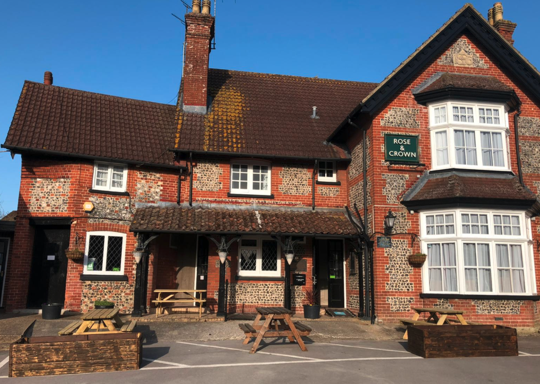
Rose & Crown Rose & Crown
39 High Street, Bulford, Wiltshire, SP4 9DS - 9.5 miles - Map
Rose & Crown on Facebook Rose & Crown website
St Andrew's Church St Andrew's Church
Newton Tony, Salisbury, Wiltshire, SP4 0HA - 9.5 miles - Map
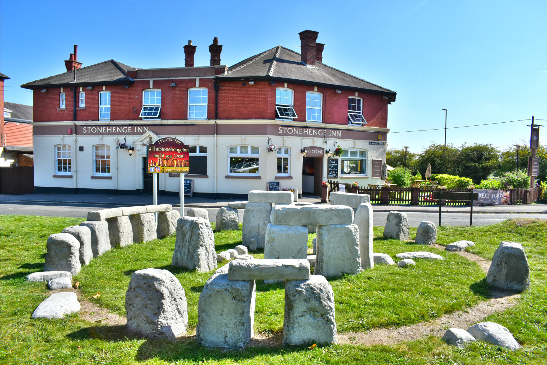
Stonehenge Inn Stonehenge Inn
2 Stonehenge Road, Durrington, Salisbury, Wiltshire, SP4 8BN - 9.5 miles - Map
Stonehenge Inn on Facebook Stonehenge Inn website
Bulford & District Working Mens Club Bulford & District Working Mens Club
31 High Street, Bulford, Wiltshire, SP4 9DR - 9.6 miles - Map
Bulford & District Working Mens Club on Facebook
Durrington Club Durrington Club
40 Windsor Road, Durrington, Wiltshire, SP4 8HG - 10.1 miles - Map
Durrington Club on Facebook Durrington Club website
Durrington Recreational Ground Durrington Recreational Ground
Durrington, Salisbury, Wiltshire, SP4 8HH - 10.3 miles - Map
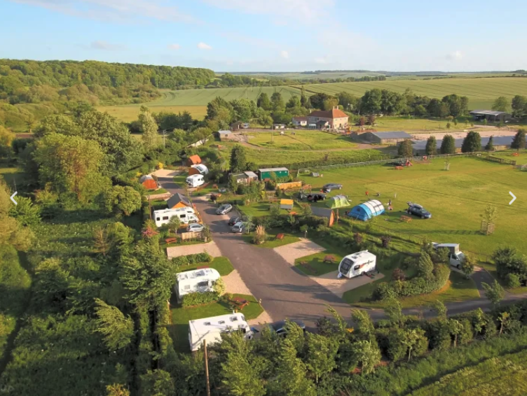
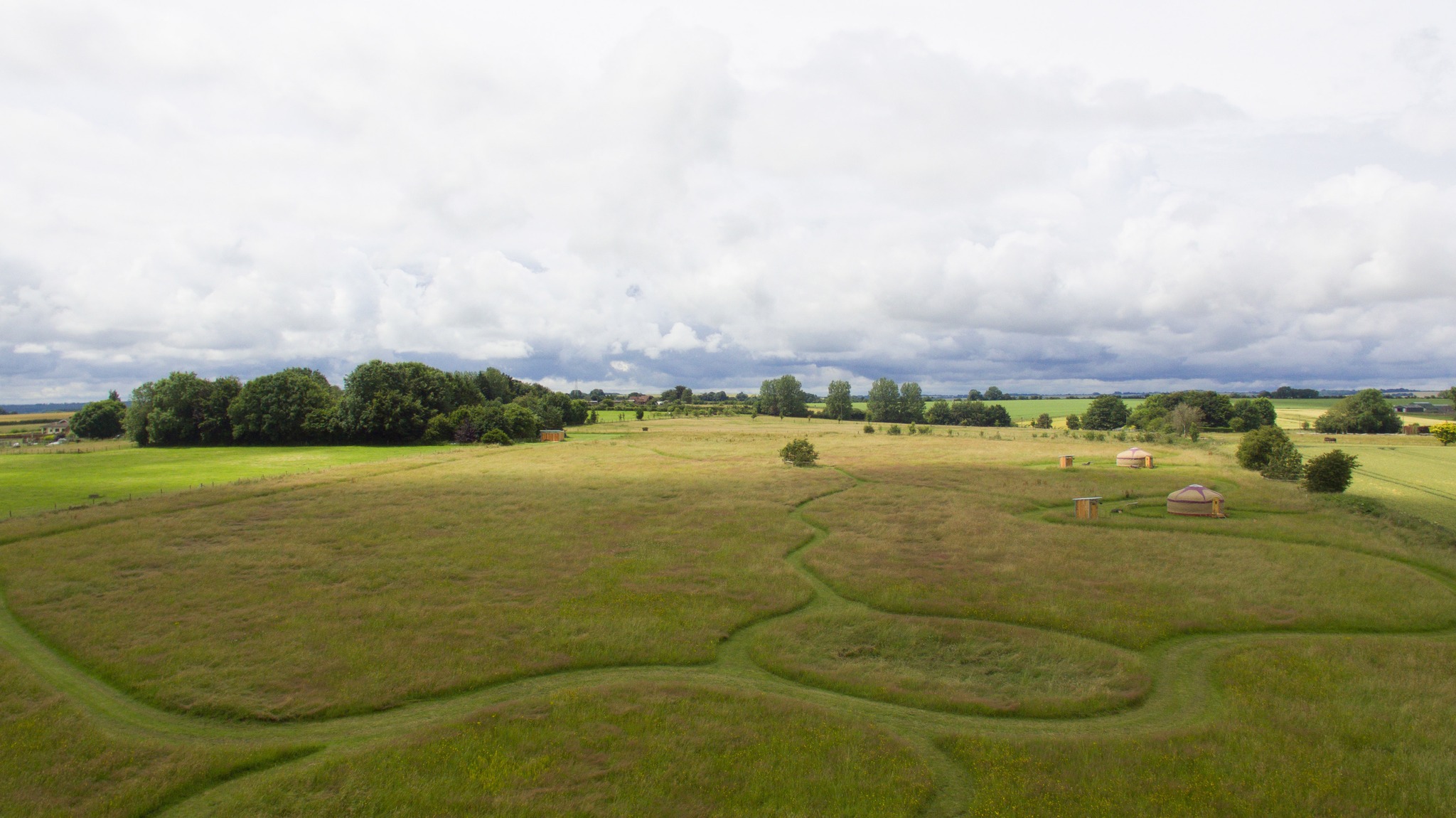
Stonehenge Campsite Stonehenge Campsite
Berwick Road, Berwick St James, Salisbury, Wiltshire, SP3 4TQ - 10.3 miles - Map
Stonehenge Campsite website
Langford Parish Hall Langford Parish Hall
Duck Street, Hanging Langford, Salisbury, Wiltshire, SP3 4PA - 10.5 miles - Map
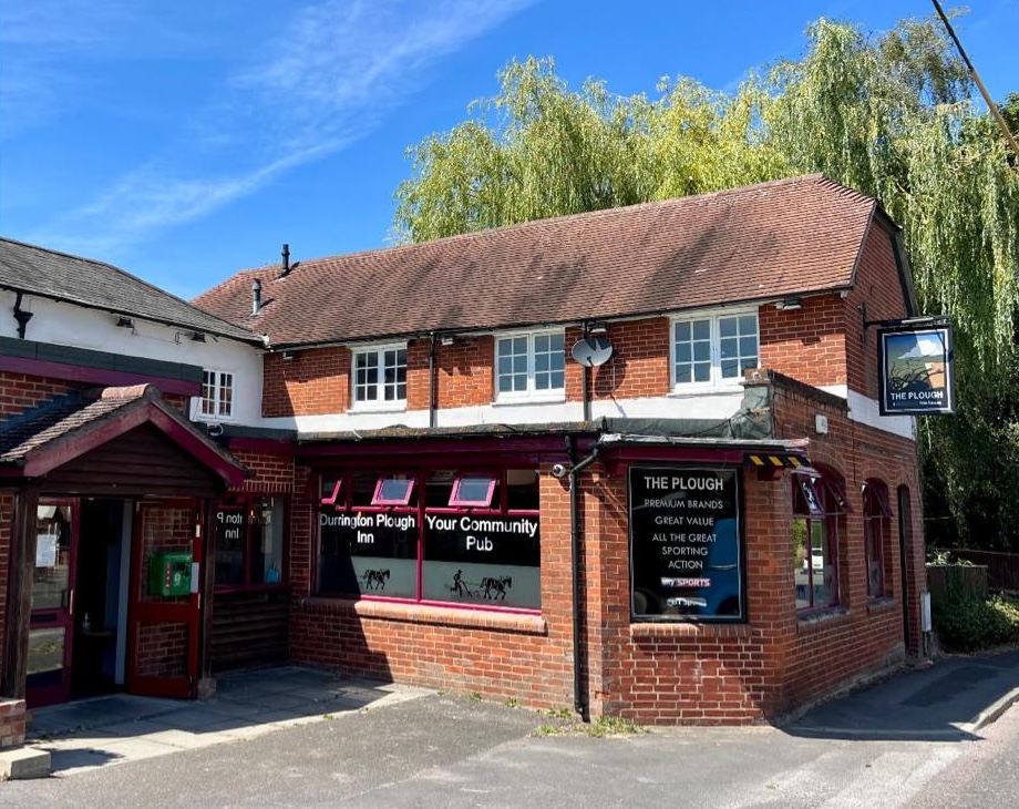
St Alban's and St Barbara's Garrison Church St Alban's and St Barbara's Garrison Church
The Packway, Larkhill, Wiltshire, SP4 8NA - 10.5 miles - Map
The Packhorse The Packhorse
Larkhill Wilson Road, Larkhill, Salisbury, Wiltshire, SP4 8QB - 11 miles - Map
The Packhorse on Facebook
Figheldean Working Mens Club Figheldean Working Mens Club
High Street, Figheldean, Salisbury, Wiltshire, SP4 8JT - 11.4 miles - Map
Figheldean Working Mens Club on Facebook
La Lambretta - Traditional Italian Kitchen & Pizza La Lambretta - Traditional Italian Kitchen & Pizza
1 Shaftesbury Street, Fordingbridge, Hampshire, SP6 1JF - 11.4 miles - Map
La Lambretta - Traditional Italian Kitchen & Pizza on Facebook La Lambretta - Traditional Italian Kitchen & Pizza website
Shrewton Sports & Social Club Shrewton Sports & Social Club
Maddington Street, Shrewton, Wiltshire, SP3 4JL - 11.4 miles - Map
Shrewton Sports & Social Club on Facebook
The George Inn The George Inn
The Crossroads, Middle Wallop, Stockbridge, Hampshire, SO20 8EG - 11.5 miles - Map
The George Inn on Facebook The George Inn website
Figheldean Playing Field Figheldean Playing Field
Pollen Lane, Figheldean, Salisbury, Wiltshire, SP4 8JR - 11.6 miles - Map
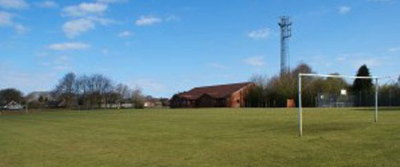
Figheldean Village Hall Figheldean Village Hall
Pollen Lane, Figheldean, Wiltshire, SP4 8JR - 11.7 miles - Map
Figheldean Village Hall on Facebook Figheldean Village Hall website
St Michael and All Angels Church St Michael and All Angels Church
High Street, Figheldean, Wiltshire, SP4 8HP - 11.7 miles - Map
Cuckoo Inn Cuckoo Inn
Hamptworth, Salisbury, Wiltshire, SP5 2DU - 12.1 miles - Map
Cuckoo Inn on Facebook
Shrewton Cricket Club Shrewton Cricket Club
The Club House, The Recreation Ground, Mill Lane, Shrewton, Wiltshire, SP3 4HQ - 12.1 miles - Map
Shrewton Cricket Club on Facebook Shrewton Cricket Club website
Netheravon & District Working Mens Club Netheravon & District Working Mens Club
High Street, Netheravon, Salisbury, Wiltshire, SP4 9PJ - 12.7 miles - Map
Netheravon & District Working Mens Club on Facebook
Manor Farm Manor Farm
North End, Broughton, Stockbridge, Hampshire, SO20 8AN - 12.9 miles - Map
The Greyhound The Greyhound
2 High Street, Broughton, Stockbridge, Hampshire, SO20 8AA - 13 miles - Map
The Greyhound on Facebook The Greyhound website
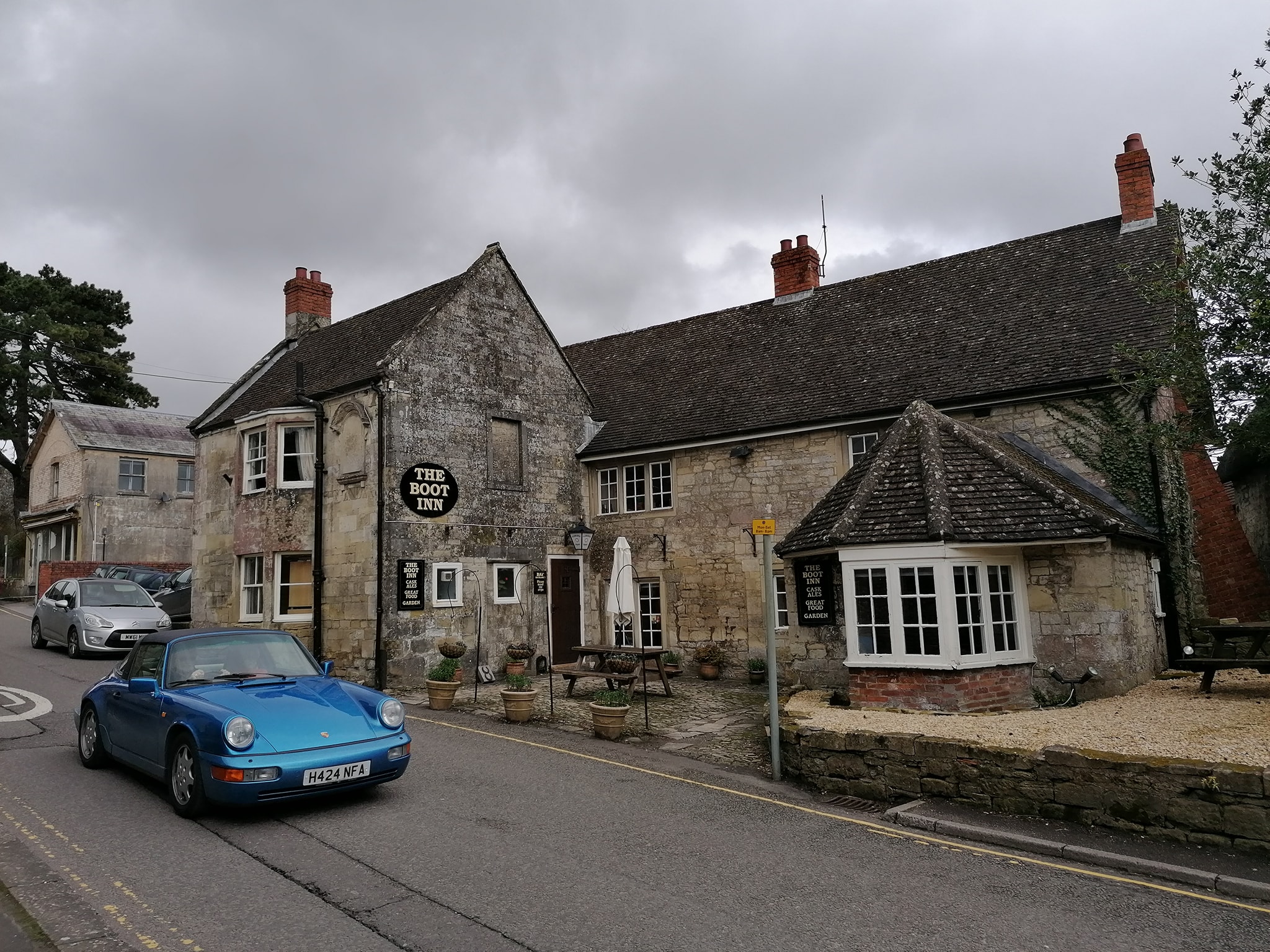
The Boot Inn The Boot Inn
High Street, Tisbury, Wiltshire, SP3 6PS - 13.7 miles - Map
The Boot Inn on Facebook
Redlynch Sports & Social Club Redlynch Sports & Social Club
The Ridge, Woodfalls, Salisbury, Wiltshire, SP5 2LN - 14.2 miles - Map
Redlynch Sports & Social Club on Facebook
Sixpenny Handley Cricket Ground Sixpenny Handley Cricket Ground
Sixpenny Handley, Dorset, SP5 5ND - 14.3 miles - Map
Green Dragon Green Dragon
Brook, Lyndhurst, Hampshire, SO43 7HE - 15 miles - Map
Green Dragon on Facebook Green Dragon website
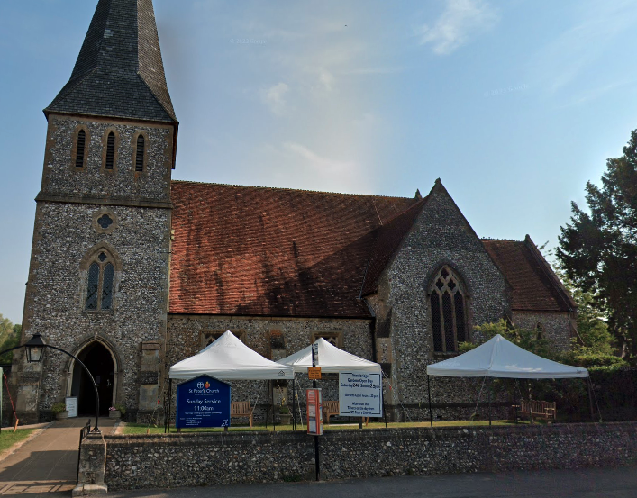
St Peter's Church St Peter's Church
High Street, Stockbridge, Hampshire, SO20 6EX - 15.3 miles - Map
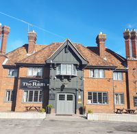
The Ram The Ram
Pennings Road, Tidworth, Wiltshire, SP9 7LG - 15.5 miles - Map
The Ram on Facebook
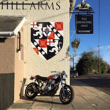
The Churchill Arms The Churchill Arms
Daggons Road, Alderholt, Fordingbridge, Hampshire, SP6 3AA - 15.8 miles - Map
The Churchill Arms on Facebook The Churchill Arms website
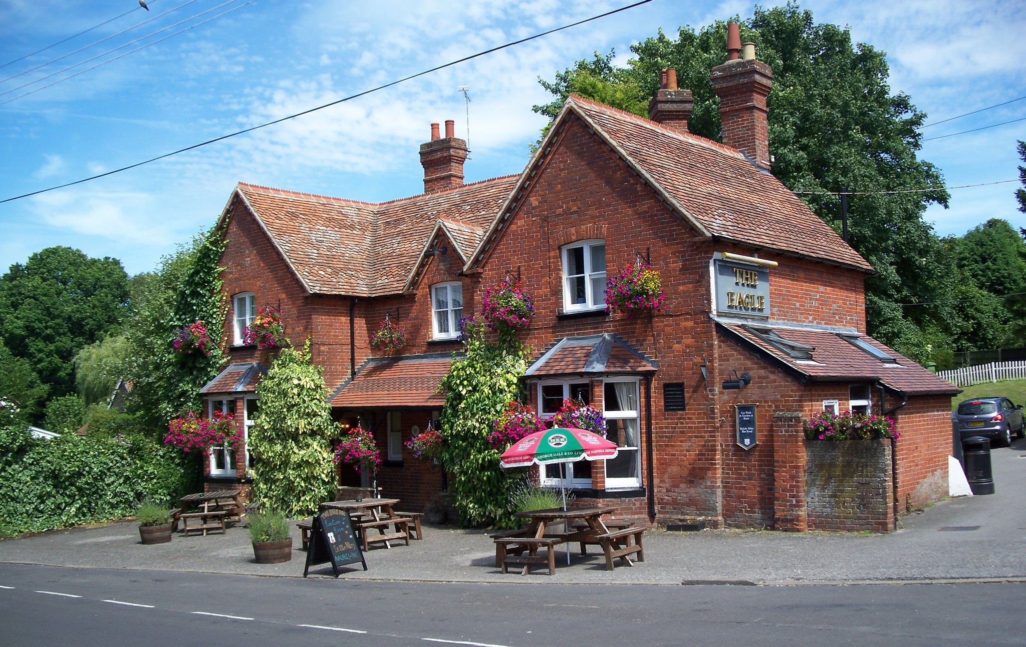
Eagle Inn Eagle Inn
54 Duck Street, Abbotts Ann, Andover, Hampshire, SP11 7BG - 16 miles - Map
Eagle Inn on Facebook Eagle Inn website
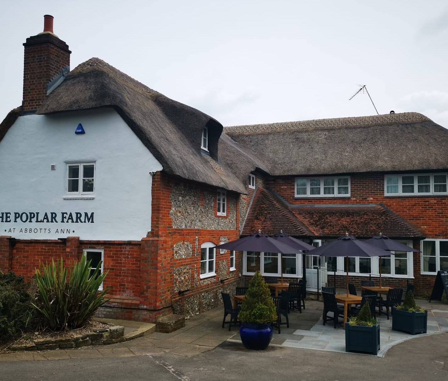
The Poplar Farm The Poplar Farm
Old Salisbury Road, Abbotts Ann, Andover, Hampshire, SP11 7NJ - 16.2 miles - Map
The Poplar Farm on Facebook The Poplar Farm website
The White Horse The White Horse
Mullens Pond, Thruxton, Hampshire, SP11 8EE - 16.2 miles - Map
The White Horse on Facebook The White Horse website
Welcome Stranger Welcome Stranger
Kimpton, Andover, Hampshire, SP11 8PG - 16.3 miles - Map
Welcome Stranger on Facebook Welcome Stranger website
Clarendon Club Clarendon Club
Nadder Road, Tidworth, Hampshire, SP9 7QA - 16.6 miles - Map
Clarendon Club on Facebook
John O'Gaunt Inn John O'Gaunt Inn
Horsebridge Road, Stockbridge, Hampshire, SO20 6PU - 16.8 miles - Map
John O'Gaunt Inn on Facebook
Coach & Horses Coach & Horses
11 Southampton Road, Cadnam, Southampton, Hampshire, SO40 2NF - 16.9 miles - Map
Coach & Horses on Facebook Coach & Horses website
The Boot Inn The Boot Inn
Houghton, Stockbridge, Hampshire, SO20 6LH - 16.9 miles - Map
The Boot Inn on Facebook The Boot Inn website
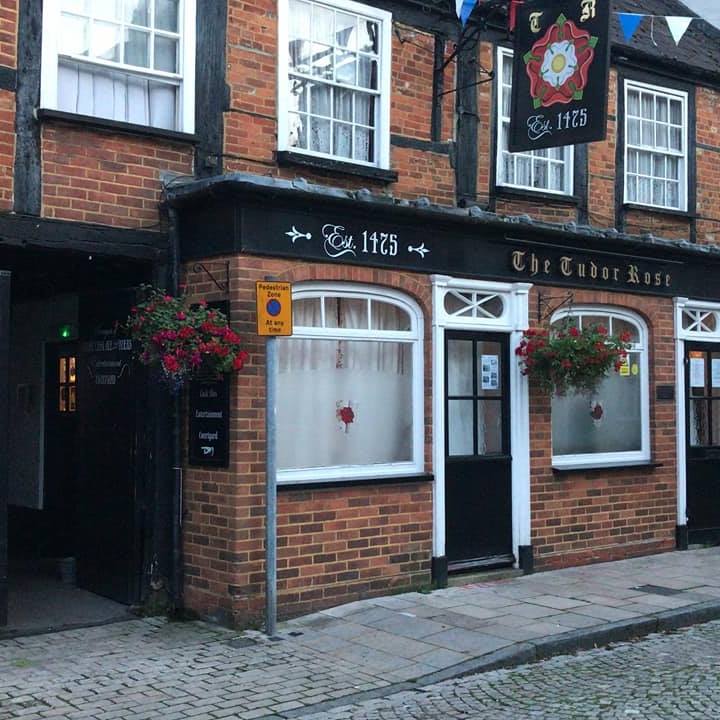
Tudor Rose Tudor Rose
3 Cornmarket, Romsey, Hampshire, SO51 8GB - 17.1 miles - Map
Tudor Rose on Facebook
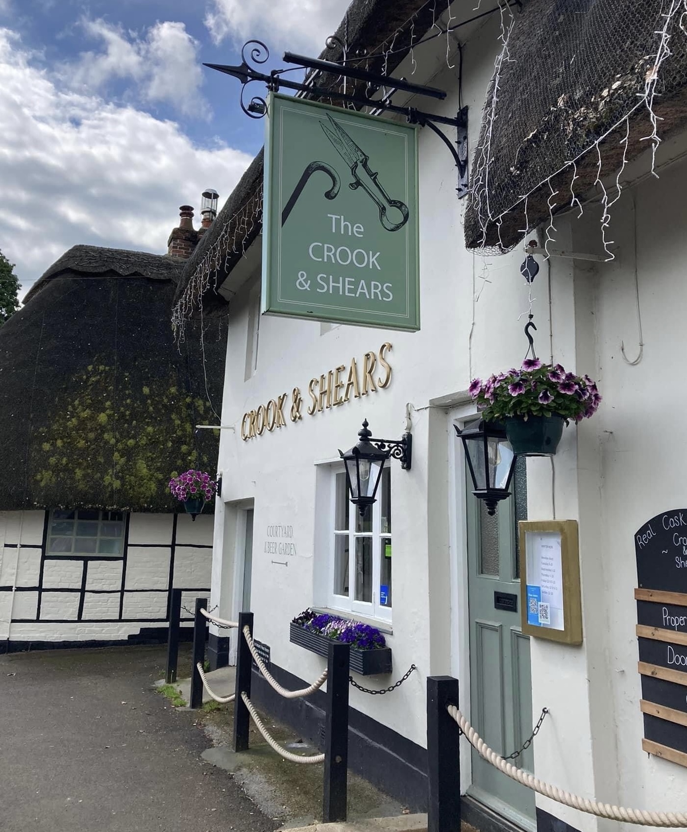
The Crook and Shears The Crook and Shears
Upper Clatford, Andover, Hampshire, SP11 7QL - 17.3 miles - Map
The Crook and Shears on Facebook The Crook and Shears website
Anton Arms Anton Arms
Salisbury Road, Andover, Hampshire, SP10 2JN - 17.5 miles - Map
Anton Arms on Facebook Anton Arms website
Thruxton Circuit Thruxton Circuit
Andover, Hampshire, SP11 8PW - 17.5 miles - Map
Thruxton Circuit on Facebook Thruxton Circuit website
White Hart Hotel White Hart Hotel
Bridge Street, Andover, Hampshire, SP10 1BH - 17.9 miles - Map
White Hart Hotel on Facebook White Hart Hotel website
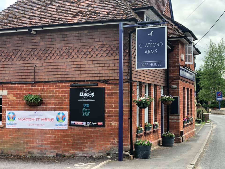
Clatford Arms Clatford Arms
Longstock Road, Goodworth Clatford, Hampshire, SP11 7RN - 18 miles - Map
Clatford Arms on Facebook
Chestnut Tree Chestnut Tree
227 Weyhill Road, Andover, Hampshire, SP10 3LL - 18.1 miles - Map
Chestnut Tree on Facebook Chestnut Tree website
Station Inn Station Inn
63 Bridge Street, Andover, Hampshire, SP10 1BY - 18.1 miles - Map
Station Inn on Facebook Station Inn website
Royal British Legion Royal British Legion
4 Western Road, Andover, Hampshire, SP10 2JG - 18.2 miles - Map
Royal British Legion on Facebook Royal British Legion website
The SP Bar The SP Bar
34 Bridge Street, Andover, Hampshire, SP10 1BW - 18.2 miles - Map
The SP Bar on Facebook
Woodbridge Inn Woodbridge Inn
Rushall Road (A345), North Newton, Pewsey, Wiltshire, SN9 6JZ - 18.2 miles - Map
Woodbridge Inn website
Foresters Arms Foresters Arms
2 London Street, Andover, Hampshire, SP10 2PA - 18.3 miles - Map
Foresters Arms on Facebook
Spin Bar Spin Bar
10 London Street, Andover, Hampshire, SP10 2PA - 18.3 miles - Map
Spin Bar on Facebook
The Rockhouse The Rockhouse
41 London Street, Andover, Hampshire, SP10 2NU - 18.3 miles - Map
The Rockhouse on Facebook The Rockhouse website
The Malt House The Malt House
71 Weyhill Road, Andover, Hampshire, SP10 3AN - 18.4 miles - Map
The Malt House on Facebook The Malt House website
Town Mills Town Mills
Bridge Street, Andover, Hampshire, SP10 1BL - 18.4 miles - Map
Town Mills on Facebook Town Mills website
The Globe Inn The Globe Inn
23 High Street, Andover, Hampshire, SP10 1LJ - 18.6 miles - Map
The Globe Inn on Facebook
Andover Community Church Andover Community Church
Charlton Road, Andover, Hampshire, SP10 3JH - 18.7 miles - Map
Andover Community Church on Facebook Andover Community Church website
Angel Inn Angel Inn
95 High Street, Andover, Hampshire, SP10 1ND - 18.7 miles - Map
Angel Inn on Facebook
Envy Envy
77 High Street, Andover, Hampshire, SP10 1LR - 18.7 miles - Map
Envy on Facebook Envy website
No 78 Coffee & Wine Bar No 78 Coffee & Wine Bar
78 High Street, Andover, Hampshire, SP10 1NG - 18.7 miles - Map
No 78 Coffee & Wine Bar on Facebook
Crown Inn Crown Inn
1 High Street, Ludgershall, Wiltshire, SP11 9PZ - 18.8 miles - Map
Crown Inn on Facebook
Vigo Road Park Vigo Road Park
Vigo Road, Andover, Hampshire, SP10 1HW - 18.8 miles - Map
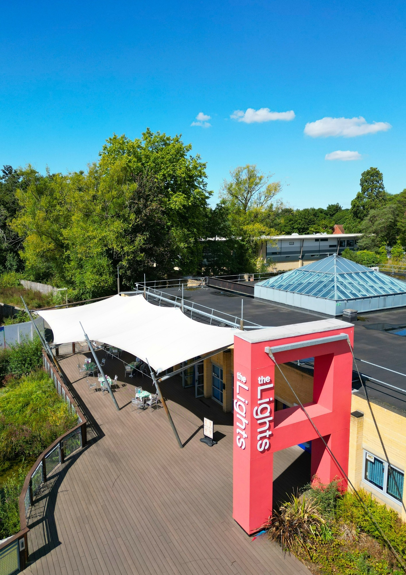
The Lights The Lights
West Street, Andover, Hampshire, SP10 1AH - 18.9 miles - Map
The Lights on Facebook The Lights website
Andover Golf Club Andover Golf Club
51 Winchester Road, Andover, Hampshire, SP10 2EF - 19 miles - Map
Andover Golf Club on Facebook Andover Golf Club website
Kings Somborne Village Hall Kings Somborne Village Hall
Kings Somborne, Hampshire, SO20 6PP - 19 miles - Map
Kings Somborne Village Hall website
St Mary's Church St Mary's Church
1 Church Close, Andover, Hampshire, SP10 1DP - 19 miles - Map
St Mary's Church on Facebook St Mary's Church website
Southampton Arms Southampton Arms
32 Winchester Road, Andover, Hampshire, SP10 2EG - 19.3 miles - Map
Southampton Arms on Facebook
Andover Central Club Andover Central Club
East Street, Andover, Hampshire, SP10 1EP - 19.7 miles - Map
Andover Central Club on Facebook Andover Central Club website
Sir Harold Hillier Arboretum and Gardens Sir Harold Hillier Arboretum and Gardens
Jermyns Lane, Ampfield, Romsey, Hampshire, SO51 0QA - 20.1 miles - Map
Sir Harold Hillier Arboretum and Gardens on Facebook Sir Harold Hillier Arboretum and Gardens website
The Old Bell and Crown The Old Bell and Crown
Hatherden, Andover, Hampshire, SP11 0HT - 20.8 miles - Map
The Old Bell and Crown on Facebook The Old Bell and Crown website
The New Enham Club The New Enham Club
15 Newbury Road, Andover, Hampshire, SP11 6HG - 21 miles - Map
The New Enham Club on Facebook
The Old Bell Hotel The Old Bell Hotel
42 Market Place, Warminster, Wiltshire, BA12 9AN - 21.6 miles - Map
The Old Bell Hotel on Facebook The Old Bell Hotel website
Chopper's Cafe Chopper's Cafe
Burbage, Marlborough, Wiltshire, SN8 3RT - 22.2 miles - Map
Chopper's Cafe on Facebook
The Stag Hotel The Stag Hotel
69 High Street, Lyndhurst, Hampshire, SO43 7BE - 22.4 miles - Map
The Stag Hotel on Facebook The Stag Hotel website
George Inn George Inn
Vernham Dean, Andover, Hampshire, SP11 0JY - 25.5 miles - Map
George Inn on Facebook George Inn website
St Mary Bourne Village Centre and Recreation Ground St Mary Bourne Village Centre and Recreation Ground
Bourne Meadow, St Mary Bourne, Hampshire, SP11 6BE - 25.6 miles - Map
The George Inn The George Inn
St Mary Bourne, Andover, Hampshire, SP11 6BG - 25.6 miles - Map
The George Inn on Facebook The George Inn website
Vernham Dean Recreation Ground Vernham Dean Recreation Ground
Vernham Dean, Andover, Hampshire, SP11 0JY - 26.2 miles - Map
Bitterne Park Social Club Bitterne Park Social Club
76 Manor Farm Road, Southampton, Hampshire, SO18 1NQ - 26.3 miles - Map
Bitterne Park Social Club on Facebook Bitterne Park Social Club website
White Hart Hotel White Hart Hotel
Newbury Street, Whitchurch, Hampshire, RG28 7DN - 26.4 miles - Map
White Hart Hotel on Facebook White Hart Hotel website
Royal British Legion Royal British Legion
22A High St, Lymington, Hampshire, SO41 9AD - 28.6 miles - Map
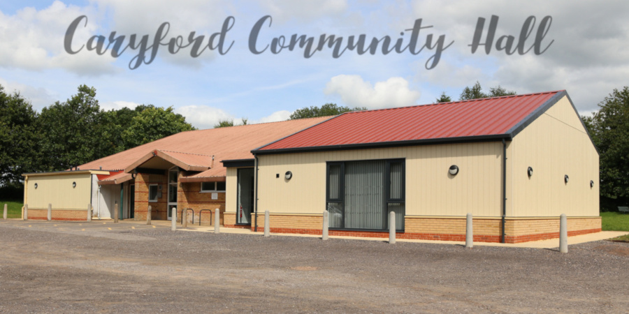
Caryford Community Hall Caryford Community Hall
Maggs Lane, Ansford, Castle Cary, South Somerset, BA7 7JJ - 42 miles - Map
Caryford Community Hall on Facebook Caryford Community Hall website


Please note: As per our terms of use, the events listed are not in our control, so they could be changed. Also, some venues may charge an entrance fee to certain music events. In either case, we recommend that you contact the venues before making your arrangements.


The Sounds of Salisbury Podcast
Bringing you the sounds of the music scene along with the voices of the community, Alex and Ellen will feature local music, fun conversation and community insight. Subscribe at soundsofsalisburypodcast.podbean.com and join them on Facebook at facebook.com/SoundsOfSalisbury.

Is This Thing On? Podcast
The best music you have never heard
Available on Spotify, iTunes and all good Podcast catchers, Nick Tann’s independent music Podcast ‘Is This Thing On?’. Dedicated to bringing you new music from unsigned bands from around the world - isthisthingonpodcast.com

www.AndoverGigGuide.co.uk
www.WinchesterGigGuide.co.uk


Just added


SUNDAY 13 OCTOBER 2024

Amee Jo

Amee Jo

Venue: Bell and Crown
2-4pm
Amee live


2.01 sec|